
Greetings from the north!
We’ve crossed into the Arctic Circle (north of 66°33′48.7″ N), as well as to the other side of the Prime Meridian (longitude 0°), and have spent the last few days roaming around the Lofoten Basin sampling as much as we can. We’ve launched a few gliders and a float, done a few deep CTD casts down to 3200m and deployed an array of drifters.

Bringing the CTD rosette back onboard after a deep cast.
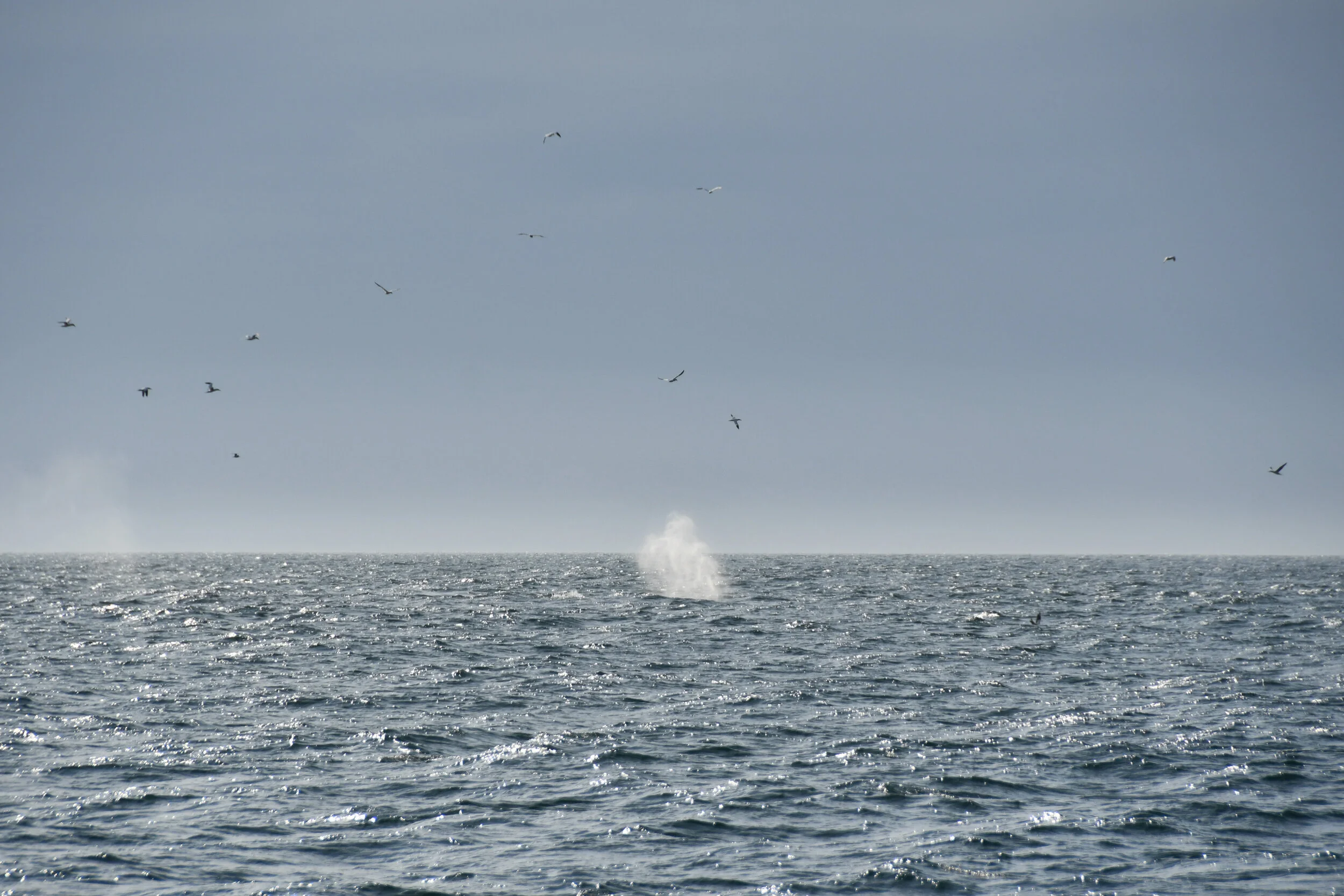
The weather has been pretty fair for the North Atlantic, not too windy and only a little bit of rain, we’ve even had a good sunset/sunrise or two and have seen whales (photographic evidence below). There has been a decent amount of waves though, and we’re all working on perfecting that “walking down a hallway on a rolling ship”-dance, swaying from side to side without losing your balance. Great fun.

The MOD crew’s instrument of choice for this cruise, the bow chain, went in the water a few days back under much excitement. The setup is, in essence, a 30 m long wire to which we’ve carefully taped 25 temperature sensors and 4 salinity/temperature/depth sensors. One end is attached to a rig placed at the bow of the ship, and then the whole chain is lowered over the side into the water with a heavy weight in the other end pulling it down. Then we politely ask the bridge to go straight ahead at about 4 knots for a few hours until it’s time to recover the sensors. Deployment and recovery requires quite a few people, the more hands that can help carefully lower/pull up sensors over the railing the better, but it has been pretty smooth so far.
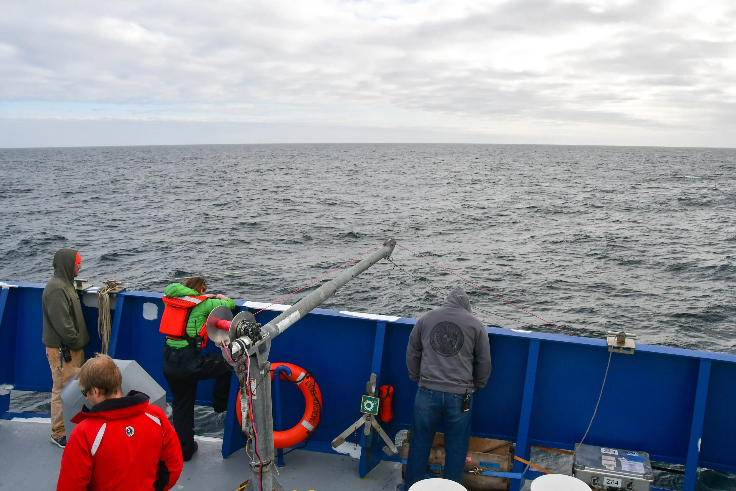
The bow commander
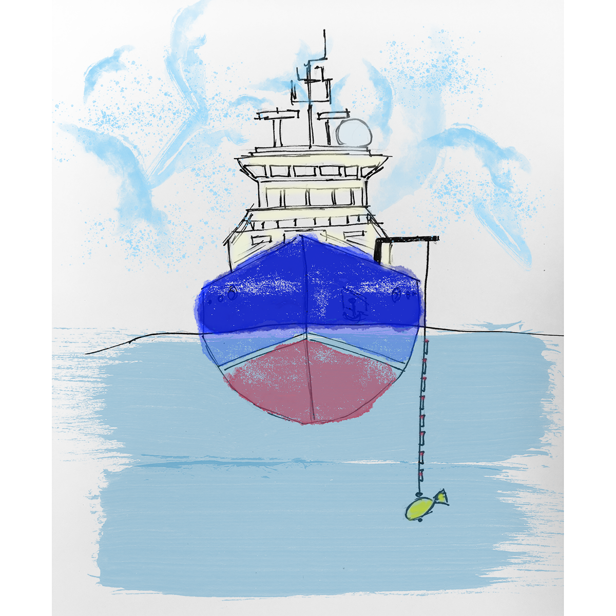
Yes, the weight is yellow and fish-shaped!

Sorting out the chain before deployment.
At first glance the data looks pretty exciting, especially combined with data from the underway CTD (u-CTD, salinity/temperature/depth sensors repeatedly dropped and pulled back from the stern of the ship while underway) which was running continually at the same time as the bow chain was in the water. The u-CTD gives relatively high spatial and temporal resolution of temperature and salinity down to about 150m, and the bow chain gives even higher resolution (a sensor every 1m or less, and sampling at 6Hz) in the uppermost 20 or so meters. Going in to the Lofoten Eddy, our sensors were able to capture some interesting temperature and salinity patterns in a cross section of the eddy.

Anna and Ale getting excited about some bow chain action.
We’re looking to do another bow chain/u-CTD section in the upcoming days depending on how the atmospheric conditions develop, there seems to be a little bit of nasty weather on the horizon and we might be heading towards the Atlantic Front Current and the region around Jan Mayen to try and avoid the worst of it…
Until next time, here’s the pirate joke of the day:
Q: Why does it take pirates so long to learn the alphabet?
A: Because they can spend years at C…
Text and photos by Kerstin Bergentz